Page 8
| I’ve used two methods to produce useful models of the cave systems I’m studying. One is a volumetric approach and is only capable of modeling the geometry of the cave system. The other method, which I call the grid clipping method, is significantly more involved but allows an additional parameter to be modeled throughout the cave system such as velocity or water chemistry. |  |

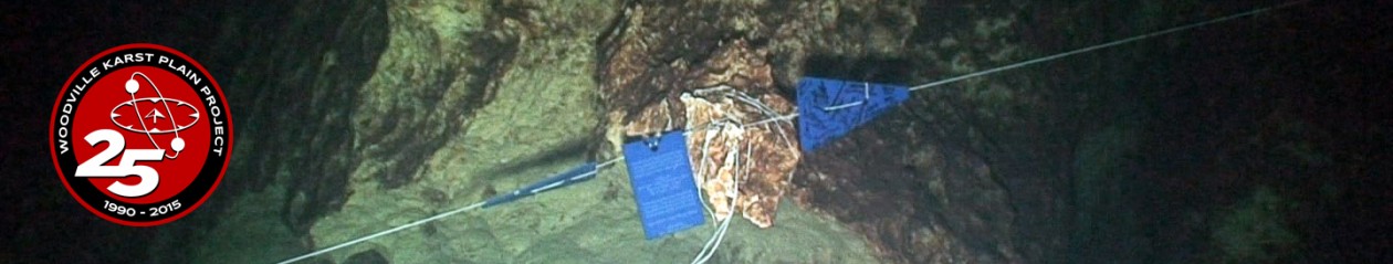
The slide above shows a diver collecting survey data from a phreatic cave. Distance between stations is measured from a knotted line and is recorded with passage height, width, and depth on a waterproof slate.
|
In the volumetric approach, all of the cave points are assigned a common modeling parameter i.e. some number unique to the points in the cave (blue points above). Next, an additional perimeter is calculated at each survey station falling 2m outside of the actual cave wall perimeter. All of those points are then assigned a different modeling parameter so that the girding program can distinguish between points falling in and out of the cave (brown points above). |